It’s nuts really, the sources of these most iconic of rivers lie just 340 kms apart as the crow flies, the Mekong rising on Mt. Guozongmucha, and the Yangtze on Geladandong Mountain. As we ride from Golmud to Nakchu in Tibet we ride between the two mountains, from which spring the two greatest waterways of East Asia – seems like a long way from either Shanghai or Ho Chi Minh City where these two great rives flow respectively to the sea. But in a future phase of this particular bike ride we will at least pass by the mouth of the Mekong, some 4,500 kms from here. Originally the ride was to be from the mouth of the Yangtze at Shanghai up to the source here on the Tibetan plain, but somehow we got excited about riding Pakistan and so in fact began at the mouth of the Indus and followed it until we climbed over the Kunjerab Pass.
Last night we stayed on the banks of the Yangtze at Tuotuoheyan high up at 4,600m we were fine without oxygen which is more than many of the guests who were sucking it hard. Indeed most of this Tibetan Plateau seems to be 4,600m or higher and we’ve coaxed the bikes up over 5300m Passes as we’ve made our way closer and closer to Lhasa. It is a nice change though to be traversing grasslands rather than the sandstorm-ravaged oases of the Taklamakan desert far behind and below us now at 1300m.
The Tibetans are so different to their Chinese conquerors it seems incongruous to see Han Chinese dominance at this altitude with troops stationed every 300 metres or so along large sections of the Quinhe-Lhasa railroad where it comes close to the road. That, the abundance of 90 vehicle-long army convoys plying the road and the ubiquity of police checkpoints along the way that we have to produce documents now we’re in what the Chinese have left of Tibet in their “Autonomous Region”, signals to us loud and clear that even more than in Xinjiang this is an uncomfortable relation between the indigenous people and their conquerors.
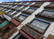
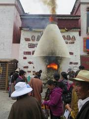
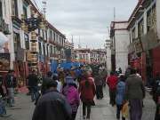
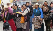
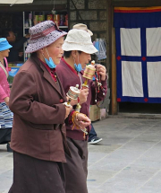
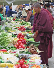
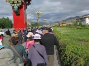
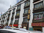
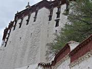
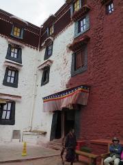
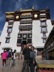
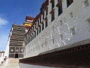
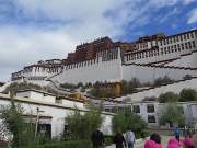
Photos of Lhasa:







Comments are closed.